Maps, Exhibits, and Planning Tools Visitors Actually Use
One of the biggest advantages of the Flaming Gorge Dam Visitor Center is access to reliable planning materials. Inside, visitors can find:
- Detailed visitor maps covering Flaming Gorge, Lake Flaming Gorge, and surrounding access points
- Interpretive displays on the gorge reservoir and river ecology
- Updates on fire danger status, road conditions, and seasonal access
- Educational materials from partners like the Intermountain Natural History Association
This information is far more accurate than generic online summaries and helps visitors make informed decisions before heading deeper into Flaming Gorge Country.
Exploring the Greater Flaming Gorge National Recreation Area
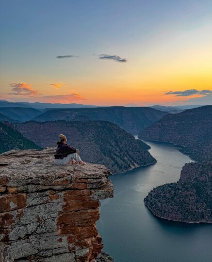
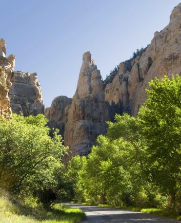
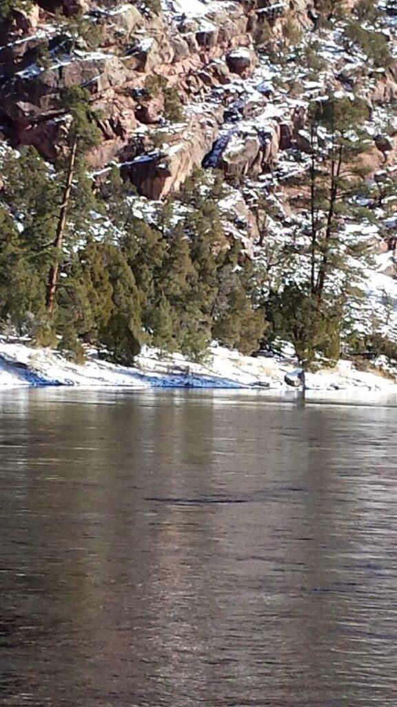
The Flaming Gorge National Recreation Area spans rugged canyon terrain, alpine forest, and open desert, stretching toward the Uinta Mountains and bordering the Ashley National Forest. From the visitor center, travelers can easily plan scenic drives, stops at the Red Canyon Overlook, or trips toward Dinosaur National Monument. Rafting below the dam.
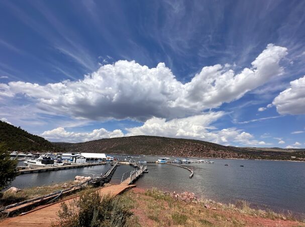
Nearby points of interest like the Red Canyon Visitor Center and Red Canyon Lodge provide additional context for exploring the region, while the reservoir itself offers boating, shoreline access, and panoramic views unique to Flaming Gorge.